
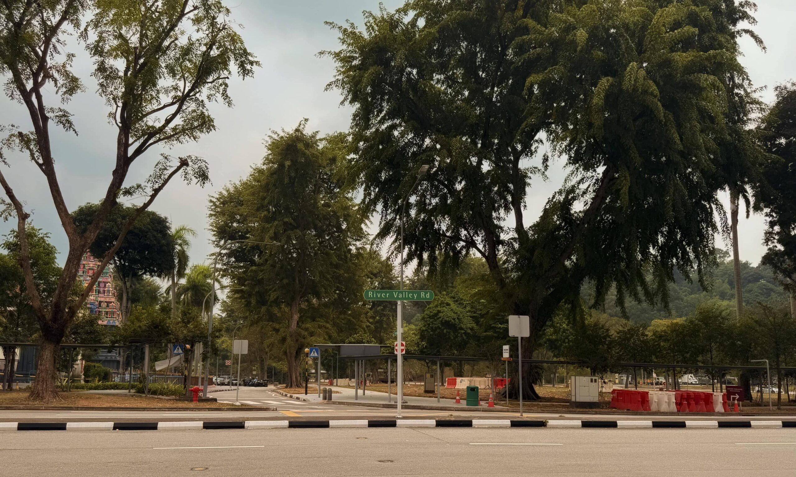
A photograph of River Valley Road, 2026
The Crossroads of Light: A History Around 219 River Valley Road
The area around 219 River Valley Road has changed several times.
Fort Canning Hill was already associated with Malay kings in the fourteenth century. The land below the hill remained largely undeveloped for much longer. By the early twentieth century, roads, railway tracks, temples, churches and shophouses had appeared around it.
The corner at 219 River Valley Road is where River Valley Road meets Mohamed Sultan Road. Fort Canning Hill is directly behind it, while Tank Road and the former railway terminus are a short distance away.
This series looks at the area in three chapters, from the fourteenth century to 2009.
Fort Canning: The History of Bukit Larangan, the Forbidden Hill
From the balcony at White Room Studio, Fort Canning Hill fills the view, and its history is the subject of this first chapter.
White Room Studio balcony, overlooking Fort Canning Hill, 2026
It looks at Bukit Larangan, the Forbidden Hill, and the Malay traditions linking the hill to the rulers of Singapura. It also covers the archaeological excavation led by John Miksic in 1984, which found fourteenth-century pottery, coins, glass and evidence of gold working.
The hill’s Keramat Iskandar Shah is also discussed. The shrine is traditionally identified with the last king of Singapura, although the identification remains disputed.
The chapter ends underground, in the Battle Box. The bunker was built between 1936 and 1938 and was used as the headquarters of the British military command. The decision to surrender Singapore to Japanese forces was made there in February 1942.
The Battle Box is only a few hundred metres from 219 River Valley Road.
Read it here: Fort Canning: The History of Bukit Larangan, the Forbidden Hill.
The Iron Pulse: When Tank Road Held Singapore’s First Railway Terminus
The second chapter follows the road from White Room Studio towards Tank Road, passing some of the area’s earliest landmarks: a national monument temple founded in 1859, a church built on the ruins of an old soy sauce factory, and Fort Canning rising behind both.
A 1982 photograph showing River Valley Road, at the corner of Tank Road. Credits: Lee Kip Lin Collection, National Library Singapore
For twenty-nine years, the same stretch also held the terminus of Singapore’s first railway, running north towards Bukit Timah.
The chapter looks at the Sri Thendayuthapani Temple and the Church of the Sacred Heart and what a passenger arriving in 1927 would have seen, when the station was still operating and the shophouse at the corner of River Valley Road and Mohamed Sultan Road had recently been completed.
Read it here: The Iron Pulse: When Tank Road Held Singapore’s First Railway Terminus.
Built on Heritage: A 1927 Corner Shophouse
The third chapter focuses on 219 River Valley Road.
This chapter looks at the earlier history of the site, the businesses and tenants that occupied it over the following decades. Its tenancy history goes back to the 1970s. By the early 1980s, the ground floor also housed a bar called Golden Maid.
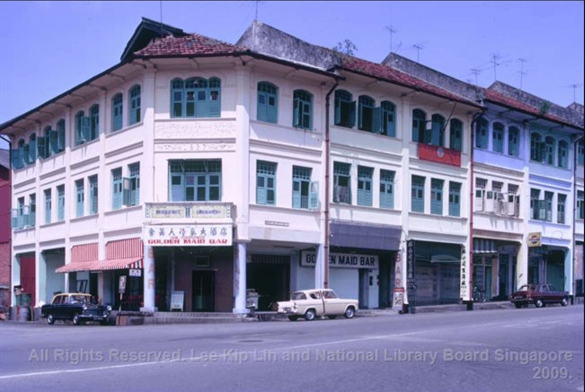
A photograph showing Golden Maid Bar in the early 1980s. Credits: Lee Kip Lin Collection, National Library Singapore
The building had changed uses several times, as had the road around it. What began as a commercial street became a nightlife district and later took on a different character again.
Today, White Room Studio has been based at 219 River Valley Road since 2009.
A recent photograph of 219 River Valley Road Singapore, occupied by White Room Studio, 2026
The history of 219 River Valley Road before and after White Room Studio’s arrival is covered in 17 Years at 219 River Valley Road.
Don’t forget to check out our FAQ and Instagram page for the latest updates. Browse through our amazing gallery and feel the experience our clients have with White Room Studio!